 vesseltracker.com
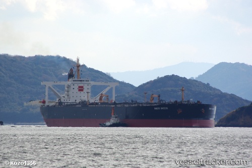
 BREEZE V
Current Status
Where is the vessel?
BREEZE V is currently in 20 nm SE of DONGJIAKOU, based on AIS data received about 14h ago.
Latest AIS update:
Current position: 35.34274° N, 120.06584° E (20 nm SE of DONGJIAKOU)
Average speed (last 7 days): Loading…
Average speed (last 30 days): Loading…
Vessel profile: BREEZE V is a Crude Oil Tanker with dimensions m x m.
This page combines live AIS, route history, probable destination signals, nearby traffic, and port activity for practical vessel monitoring.
The current position of vessel BREEZE V is 35.34274 lat / 120.06584 lng. Updated: 2026-05-18 09:52:57 UTCNearest reference points:
- 24 nm SE of DONGJIAKOU
- 25 nm SE of DONGJIAKOU
- 14 nm S of DONGJIAKOU
Currently sailing under the flag of Comoros ![]()
Details:
Live Vessel BREEZE V Analytics (details, animations, etc.)
Recent AIS points (UTC):
2026-05-18 02:34:21 UTC · 35.34678, 120.07176 · SOG 0 kn · COG 217°2026-05-18 06:46:20 UTC · 35.34632, 120.06568 · SOG 0 kn · COG 122°
2026-05-18 07:31:13 UTC · 35.34409, 120.06467 · SOG 0.2 kn · COG 90°
2026-05-18 09:52:57 UTC · 35.34274, 120.06584 · SOG 0 kn · COG -1°