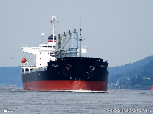
 PALAU
PALAU
Current Status
Where is the vessel?
PALAU is currently in 13 nm SE of Qisha Pt, based on AIS data received about 14h ago.
Latest AIS update:
Current position: 21.39167° N, 108.56982° E (13 nm SE of Qisha Pt)
Average speed (last 7 days): Loading…
Average speed (last 30 days): Loading…
Vessel profile: PALAU is a Bulk Carrier with dimensions m x m.
This page combines live AIS, route history, probable destination signals, nearby traffic, and port activity for practical vessel monitoring.
The current position of vessel PALAU is 21.39167 lat / 108.56982 lng. Updated: 2026-05-20 22:03:52 UTCNearest reference points:
- Near Qisha Pt
- 26 nm SE of Qisha Pt
- Near Fangcheng
Currently sailing under the flag of Liberia ![]()
Details:
Live Vessel PALAU Analytics (details, animations, etc.)
Recent AIS points (UTC):
2026-05-20 16:30:49 UTC · 21.39128, 108.56986 · SOG 0.1 kn · COG 87°2026-05-20 17:33:49 UTC · 21.39122, 108.56989 · SOG 0 kn · COG 84°
2026-05-20 19:09:50 UTC · 21.39121, 108.56990 · SOG 0 kn · COG 83°
2026-05-20 22:03:52 UTC · 21.39167, 108.56982 · SOG 0 kn · COG 93°