 vesseltracker.com
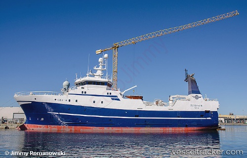
 TASERMIUT
Current Status
Where is the vessel?
TASERMIUT is currently in 158 nm W of PATREKSFJORDUR, based on AIS data received about 14h ago.
Latest AIS update:
Current position: 65.50518° N, 30.36121° W (158 nm W of PATREKSFJORDUR)
Average speed (last 7 days): Loading…
Average speed (last 30 days): Loading…
Vessel profile: TASERMIUT is a Trawler with dimensions m x m.
This page combines live AIS, route history, probable destination signals, nearby traffic, and port activity for practical vessel monitoring.
The current position of vessel TASERMIUT is 65.50518 lat / -30.36121 lng. Updated: 2026-05-18 04:58:00 UTCNearest reference points:
- 154 nm SW of RIF
- 148 nm SW of RIF
Currently sailing under the flag of Greenland ![]()
Details:
Live Vessel TASERMIUT Analytics (details, animations, etc.)
Recent AIS points (UTC):
2026-05-18 01:03:55 UTC · 65.51571, -30.39747 · SOG 3.1 kn · COG 106°2026-05-18 01:55:59 UTC · 65.52889, -30.29687 · SOG 3.7 kn · COG 65°
2026-05-18 03:37:52 UTC · 65.53398, -30.40329 · SOG 3.4 kn · COG 229°
2026-05-18 04:58:00 UTC · 65.50518, -30.36121 · SOG 6.1 kn · COG 21°