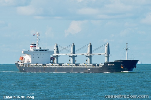
 PAPUA
PAPUA
Current Status
Where is the vessel?
PAPUA is currently in Near Ekonomiya, based on AIS data received about 14h ago.
Latest AIS update:
Current position: 64.68264° N, 40.70975° E (Near Ekonomiya)
Average speed (last 7 days): Loading…
Average speed (last 30 days): Loading…
Vessel profile: PAPUA is a Bulk Carrier with dimensions m x m.
This page combines live AIS, route history, probable destination signals, nearby traffic, and port activity for practical vessel monitoring.
The current position of vessel PAPUA is 64.68264 lat / 40.70975 lng. Updated: 2026-05-21 16:02:23 UTCNearest reference points:
- Near Ekonomiya
- Near ARKHANGELSK
- Near Novodvinsk
Currently sailing under the flag of Liberia ![]()
Details:
Live Vessel PAPUA Analytics (details, animations, etc.)
Recent AIS points (UTC):
2026-05-21 13:28:25 UTC · 64.68624, 40.69081 · SOG 22.1 kn · COG 310°2026-05-21 13:28:25 UTC · 64.68624, 40.69081 · SOG 22.1 kn · COG 310°
2026-05-21 14:55:13 UTC · 64.84297, 40.93718 · SOG 8.5 kn · COG 310°
2026-05-21 16:02:23 UTC · 64.68264, 40.70975 · SOG 9.6 kn · COG 310°