 AGATA
AGATA
Current Status
Where is the vessel?
AGATA is currently in 13 nm NE of Viinistu Sadam, based on AIS data received about 14h ago.
Latest AIS update:
Current position: 59.85102° N, 25.93381° E (13 nm NE of Viinistu Sadam)
Average speed (last 7 days): Loading…
Average speed (last 30 days): Loading…
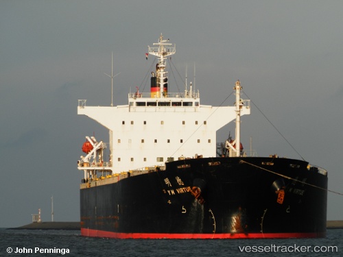
Vessel profile: AGATA is a Bulk Carrier with dimensions m x m.
This page combines live AIS, route history, probable destination signals, nearby traffic, and port activity for practical vessel monitoring.
The current position of vessel AGATA is 59.85102 lat / 25.93381 lng. Updated: 2026-05-21 10:51:09 UTCNearest reference points:
- 13 nm N of Viinistu Sadam
- Near Vessölandet
- Near Vuosaari (Nordsjö)
Currently sailing under the flag of Panama ![]()
Details:
Live Vessel AGATA Analytics (details, animations, etc.)
Recent AIS points (UTC):
2026-05-21 07:18:07 UTC · 59.85253, 25.93301 · SOG 0 kn · COG 224°2026-05-21 08:12:11 UTC · 59.85182, 25.93374 · SOG 0 kn · COG 246°
2026-05-21 09:54:08 UTC · 59.85087, 25.93377 · SOG 0 kn · COG 287°
2026-05-21 10:51:09 UTC · 59.85102, 25.93381 · SOG 0 kn · COG 283°