 KAPADOKYA
Current Status
Where is the vessel?
KAPADOKYA is currently in Near Petrolsport, based on AIS data received about 14h ago.
Latest AIS update:
Current position: 59.88669° N, 30.20072° E (Near Petrolsport)
Average speed (last 7 days): Loading…
Average speed (last 30 days): Loading…
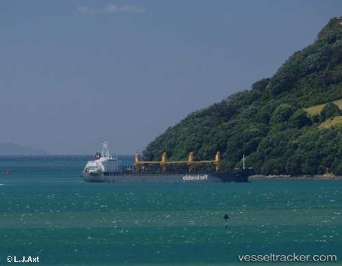
Vessel profile: KAPADOKYA is a Bulk Carrier with dimensions m x m.
This page combines live AIS, route history, probable destination signals, nearby traffic, and port activity for practical vessel monitoring.
The current position of vessel KAPADOKYA is 59.88669 lat / 30.20072 lng. Updated: 2026-05-21 13:38:43 UTCNearest reference points:
- Near Petrolsport
- Near Vassilevsky Ostrov/St Petersburg
- Near Sankt-Peterburg
Currently sailing under the flag of Barbados ![]()
Details:
Live Vessel KAPADOKYA Analytics (details, animations, etc.)
Recent AIS points (UTC):
2026-05-21 10:49:09 UTC · 59.88667, 30.20070 · SOG 0 kn · COG 136°2026-05-21 11:21:13 UTC · 59.88664, 30.20079 · SOG 0.8 kn · COG 136°
2026-05-21 12:50:43 UTC · 59.88676, 30.20064 · SOG 0.3 kn · COG 136°
2026-05-21 13:38:43 UTC · 59.88669, 30.20072 · SOG 0 kn · COG 136°