 MOONI
MOONI
Current Status
Where is the vessel?
MOONI is currently in Near Ayn Sukhnah, based on AIS data received about 14h ago.
Latest AIS update:
Current position: 29.51710° N, 32.45648° E (Near Ayn Sukhnah)
Average speed (last 7 days): Loading…
Average speed (last 30 days): Loading…
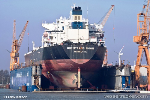
Vessel profile: MOONI is a Oil Products Tanker with dimensions m x m.
This page combines live AIS, route history, probable destination signals, nearby traffic, and port activity for practical vessel monitoring.
The current position of vessel MOONI is 29.51710 lat / 32.45648 lng. Updated: 2026-05-18 23:32:02 UTCNearest reference points:
- Near Ras Sudr
- Near Al Adabiyah
- Near AL ADABIYAH
Currently sailing under the flag of Antigua and Barbuda ![]()
Details:
Live Vessel MOONI Analytics (details, animations, etc.)
Recent AIS points (UTC):
2026-05-18 19:59:02 UTC · 29.51701, 32.45631 · SOG 0.1 kn · COG 66°2026-05-18 21:35:02 UTC · 29.51753, 32.45625 · SOG 0.1 kn · COG 81°
2026-05-18 22:53:02 UTC · 29.51741, 32.45647 · SOG 0 kn · COG 73°
2026-05-18 23:32:02 UTC · 29.51710, 32.45648 · SOG 0 kn · COG 65°