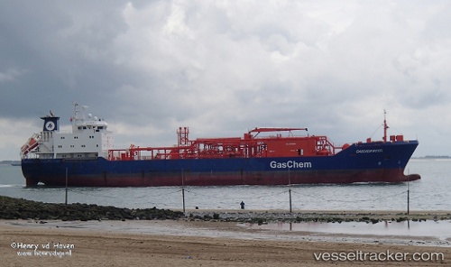
 GAS ROSEA
Current Status
Where is the vessel?
GAS ROSEA is currently in 37 nm E of Port Sultan, based on AIS data received about 17h ago.
Latest AIS update:
Current position: 23.84080° N, 59.25181° E (37 nm E of Port Sultan)
Average speed (last 7 days): Loading…
Average speed (last 30 days): Loading…
Vessel profile: GAS ROSEA is a Tanker with dimensions m x m.
This page combines live AIS, route history, probable destination signals, nearby traffic, and port activity for practical vessel monitoring.
The current position of vessel GAS ROSEA is 23.84080 lat / 59.25181 lng. Updated: 2026-05-22 23:48:32 UTCNearest reference points:
- 23 nm NE of Qalhat
- 59 nm S of Chah Bahar
- 52 nm NE of SUR
Currently sailing under the flag of Indonesia ![]()
Details:
Live Vessel GAS ROSEA Analytics (details, animations, etc.)
Recent AIS points (UTC):
2026-05-22 23:48:32 UTC · 23.84080, 59.25181 · SOG 11.7 kn · COG 289°2026-05-22 23:48:32 UTC · 23.84080, 59.25181 · SOG 11.7 kn · COG 289°
2026-05-22 23:48:32 UTC · 23.84080, 59.25181 · SOG 11.7 kn · COG 289°
2026-05-22 23:48:32 UTC · 23.84080, 59.25181 · SOG 11.7 kn · COG 289°