 SWIFT GALAXY
Current Status
Where is the vessel?
SWIFT GALAXY is currently in 28 nm N of Doraleh Container Terminal, based on AIS data received about 14h ago.
Latest AIS update:
Current position: 12.05232° N, 44.47750° E (28 nm N of Doraleh Container Terminal)
Average speed (last 7 days): Loading…
Average speed (last 30 days): Loading…
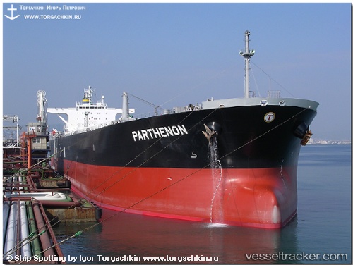
Vessel profile: SWIFT GALAXY is a Crude Oil Tanker with dimensions m x m.
This page combines live AIS, route history, probable destination signals, nearby traffic, and port activity for practical vessel monitoring.
The current position of vessel SWIFT GALAXY is 12.05232 lat / 44.47750 lng. Updated: 2026-05-21 13:31:07 UTCNearest reference points:
- Near Djibouti
Currently sailing under the flag of Panama ![]()
Details:
Live Vessel SWIFT GALAXY Analytics (details, animations, etc.)
Recent AIS points (UTC):
2026-05-21 09:24:57 UTC · 12.09422, 44.40158 · SOG 2.7 kn · COG 119°2026-05-21 10:58:57 UTC · 12.07918, 44.43125 · SOG 0.5 kn · COG 103°
2026-05-21 12:07:27 UTC · 12.07455, 44.43740 · SOG 0.3 kn · COG 155°
2026-05-21 13:31:07 UTC · 12.05232, 44.47750 · SOG 8.1 kn · COG 111°