 ZAYA
ZAYA
Current Status
Where is the vessel?
ZAYA is currently in 27 nm E of Offshore Fujairah, based on AIS data received about 15h ago.
Latest AIS update:
Current position: 25.25576° N, 57.15591° E (27 nm E of Offshore Fujairah)
Average speed (last 7 days): Loading…
Average speed (last 30 days): Loading…
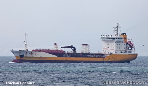
Vessel profile: ZAYA is a Oil Products Tanker with dimensions m x m.
This page combines live AIS, route history, probable destination signals, nearby traffic, and port activity for practical vessel monitoring.
The current position of vessel ZAYA is 25.25576 lat / 57.15591 lng. Updated: 2026-05-19 11:45:31 UTCNearest reference points:
- Near Offshore Fujairah
- 30 nm NE of Offshore Fujairah
- 42 nm SE of Offshore Fujairah
Currently sailing under the flag of Panama ![]()
Details:
Live Vessel ZAYA Analytics (details, animations, etc.)
Recent AIS points (UTC):
2026-05-19 07:51:10 UTC · 25.17928, 57.69577 · SOG 6.6 kn · COG 283°2026-05-19 09:29:13 UTC · 25.20394, 57.48154 · SOG 7.6 kn · COG 285°
2026-05-19 10:23:41 UTC · 25.22432, 57.35592 · SOG 8.2 kn · COG 282°
2026-05-19 11:45:31 UTC · 25.25576, 57.15591 · SOG 8.6 kn · COG -1°