 EBRU
EBRU
Current Status
Where is the vessel?
EBRU is currently in Near BRONKA, based on AIS data received about 14h ago.
Latest AIS update:
Current position: 60.01765° N, 29.53783° E (Near BRONKA)
Average speed (last 7 days): Loading…
Average speed (last 30 days): Loading…
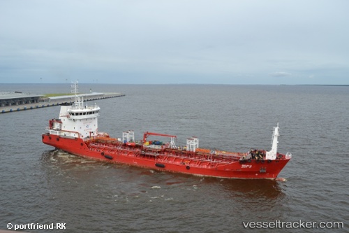
Vessel profile: EBRU is a Oil/Chemical Tanker with dimensions m x m.
This page combines live AIS, route history, probable destination signals, nearby traffic, and port activity for practical vessel monitoring.
The current position of vessel EBRU is 60.01765 lat / 29.53783 lng. Updated: 2026-05-20 11:22:52 UTCNearest reference points:
- Near Kronstadt
- Near KRONSHTADT
- 14 nm NW of KRONSHTADT
Currently sailing under the flag of Russia ![]()
Details:
Live Vessel EBRU Analytics (details, animations, etc.)
Recent AIS points (UTC):
2026-05-20 08:13:17 UTC · 59.87687, 30.22070 · SOG 0 kn · COG 305°2026-05-20 10:06:07 UTC · 59.93310, 29.94373 · SOG 10.4 kn · COG 291°
2026-05-20 10:06:07 UTC · 59.93310, 29.94373 · SOG 10.4 kn · COG 291°
2026-05-20 11:22:52 UTC · 60.01765, 29.53783 · SOG 9.8 kn · COG 290°