 vesseltracker.com
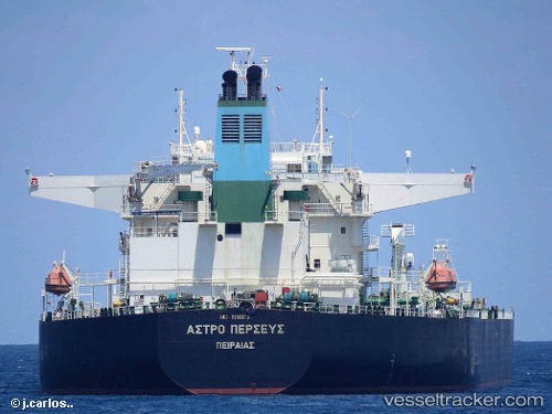
 FURY
FURY
Current Status
Where is the vessel?
FURY is currently in 45 nm SE of Offshore Fujairah, based on AIS data received about 14h ago.
Latest AIS update:
Current position: 24.92997° N, 57.42276° E (45 nm SE of Offshore Fujairah)
Average speed (last 7 days): Loading…
Average speed (last 30 days): Loading…
Vessel profile: FURY is a Crude Oil Tanker with dimensions m x m.
This page combines live AIS, route history, probable destination signals, nearby traffic, and port activity for practical vessel monitoring.
The current position of vessel FURY is 24.92997 lat / 57.42276 lng. Updated: 2026-05-18 10:02:58 UTCNearest reference points:
- 42 nm SE of Offshore Fujairah
- 58 nm S of JASK
- 18 nm SE of SHINAS
Currently sailing under the flag of Guinea-Bissau ![]()
Details:
Live Vessel FURY Analytics (details, animations, etc.)
Recent AIS points (UTC):
2026-05-18 05:39:41 UTC · 24.93002, 57.42287 · SOG 0 kn · COG 252°2026-05-18 07:13:29 UTC · 24.93006, 57.42287 · SOG 0 kn · COG 252°
2026-05-18 08:07:22 UTC · 24.92999, 57.42286 · SOG 0 kn · COG 160°
2026-05-18 10:02:58 UTC · 24.92997, 57.42276 · SOG 0 kn · COG 172°