 JI HANG
Current Status
Where is the vessel?
JI HANG is currently in 16 nm S of Stará Voda, based on AIS data received about 14h ago.
Latest AIS update:
Current position: 54.72599° N, 12.61022° E (16 nm S of Stará Voda)
Average speed (last 7 days): Loading…
Average speed (last 30 days): Loading…
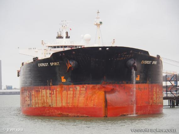
Vessel profile: JI HANG is a Crude Oil Tanker with dimensions m x m.
This page combines live AIS, route history, probable destination signals, nearby traffic, and port activity for practical vessel monitoring.
The current position of vessel JI HANG is 54.72599 lat / 12.61022 lng. Updated: 2026-05-22 10:04:39 UTCNearest reference points:
- Near Pruchten
- Near Rødvig Havn
- 10 nm NW of Graal-Müritz
Currently sailing under the flag of Cameroon ![]()
Details:
Live Vessel JI HANG Analytics (details, animations, etc.)
Recent AIS points (UTC):
2026-05-22 07:07:38 UTC · 54.77658, 13.24070 · SOG 8.3 kn · COG 272°2026-05-22 08:16:21 UTC · 54.77772, 12.97055 · SOG 8.1 kn · COG 269°
2026-05-22 09:22:10 UTC · 54.77559, 12.74530 · SOG 8.1 kn · COG 260°
2026-05-22 10:04:39 UTC · 54.72599, 12.61022 · SOG 7.2 kn · COG 234°