 ILAN
ILAN
Current Status
Where is the vessel?
ILAN is currently in Near Algeciras, based on AIS data received about 14h ago.
Latest AIS update:
Current position: 36.11844° N, 5.40913° W (Near Algeciras)
Average speed (last 7 days): Loading…
Average speed (last 30 days): Loading…
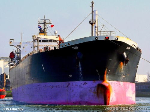
Vessel profile: ILAN is a Oil Products Tanker with dimensions m x m.
This page combines live AIS, route history, probable destination signals, nearby traffic, and port activity for practical vessel monitoring.
The current position of vessel ILAN is 36.11844 lat / -5.40913 lng. Updated: 2026-05-23 01:38:51 UTCNearest reference points:
- Near Algeciras
- Near Waterport
- Near Palmones
Currently sailing under the flag of Liberia ![]()
Details:
Live Vessel ILAN Analytics (details, animations, etc.)
Recent AIS points (UTC):
2026-05-22 22:33:32 UTC · 36.13880, -5.42690 · SOG 0 kn · COG 272°2026-05-22 23:48:31 UTC · 36.13882, -5.42694 · SOG 0 kn · COG 272°
2026-05-23 01:36:02 UTC · 36.11841, -5.40897 · SOG 0.2 kn · COG 39°
2026-05-23 01:38:51 UTC · 36.11844, -5.40913 · SOG 0.3 kn · COG -1°