 MADI
MADI
Current Status
Where is the vessel?
MADI is currently in 20 nm S of Tangkak, based on AIS data received about 14h ago.
Latest AIS update:
Current position: 1.94343° N, 102.47973° E (20 nm S of Tangkak)
Average speed (last 7 days): Loading…
Average speed (last 30 days): Loading…
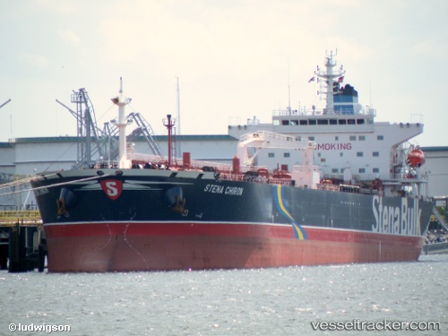
Vessel profile: MADI is a Crude Oil Tanker with dimensions m x m.
This page combines live AIS, route history, probable destination signals, nearby traffic, and port activity for practical vessel monitoring.
The current position of vessel MADI is 1.94343 lat / 102.47973 lng. Updated: 2026-05-21 09:20:23 UTCNearest reference points:
- 12 nm S of Tangkak
- 29 nm W of Parit Raja
- Near Malacca
Currently sailing under the flag of Barbados ![]()
Details:
Live Vessel MADI Analytics (details, animations, etc.)
Recent AIS points (UTC):
2026-05-21 05:31:29 UTC · 1.94138, 102.48083 · SOG 0 kn · COG 291°2026-05-21 08:01:34 UTC · 1.94312, 102.48047 · SOG 0 kn · COG 228°
2026-05-21 08:01:34 UTC · 1.94312, 102.48047 · SOG 0 kn · COG 228°
2026-05-21 09:20:23 UTC · 1.94343, 102.47973 · SOG 0.1 kn · COG -1°