 EADOW DXL
Current Status
Where is the vessel?
EADOW DXL is currently in 24 nm W of King Abdullah City, based on AIS data received about 15h ago.
Latest AIS update:
Current position: 22.34705° N, 38.65397° E (24 nm W of King Abdullah City)
Average speed (last 7 days): Loading…
Average speed (last 30 days): Loading…
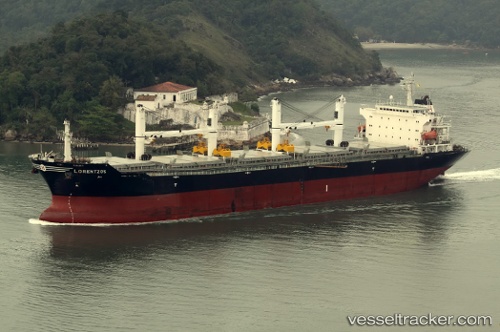
Vessel profile: EADOW DXL is a Bulk Carrier with dimensions m x m.
This page combines live AIS, route history, probable destination signals, nearby traffic, and port activity for practical vessel monitoring.
The current position of vessel EADOW DXL is 22.34705 lat / 38.65397 lng. Updated: 2026-05-21 08:15:36 UTCNearest reference points:
- Near King Abdullah City
- Near King Abdullah
- Near Rabigh
Currently sailing under the flag of Marshall Islands ![]()
Details:
Live Vessel EADOW DXL Analytics (details, animations, etc.)
Recent AIS points (UTC):
2026-05-21 03:14:35 UTC · 22.29908, 38.55851 · SOG 24.5 kn · COG 216°2026-05-21 03:14:35 UTC · 22.29908, 38.55851 · SOG 24.5 kn · COG 216°
2026-05-21 07:21:17 UTC · 22.35237, 38.64981 · SOG 0.5 kn · COG 228°
2026-05-21 08:15:36 UTC · 22.34705, 38.65397 · SOG 0.4 kn · COG 218°