 VICTORY STAR
Current Status
Where is the vessel?
VICTORY STAR is currently in 16 nm SE of Sukumowan, based on AIS data received about 14h ago.
Latest AIS update:
Current position: 32.69082° N, 132.88457° E (16 nm SE of Sukumowan)
Average speed (last 7 days): Loading…
Average speed (last 30 days): Loading…
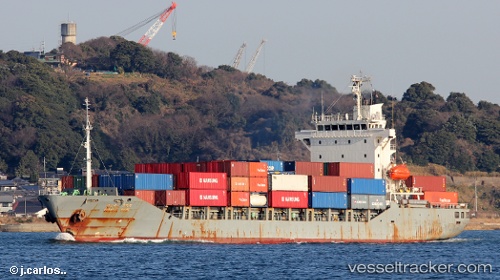
Vessel profile: VICTORY STAR is a Container Ship with dimensions m x m.
This page combines live AIS, route history, probable destination signals, nearby traffic, and port activity for practical vessel monitoring.
The current position of vessel VICTORY STAR is 32.69082 lat / 132.88457 lng. Updated: 2026-05-20 10:35:24 UTCNearest reference points:
- 19 nm SW of Sukumowan
- 11 nm E of SAEKI
- 77 nm S of Sukumowan
Currently sailing under the flag of Hong Kong ![]()
Details:
Live Vessel VICTORY STAR Analytics (details, animations, etc.)
Recent AIS points (UTC):
2026-05-20 05:58:05 UTC · 33.28663, 132.00513 · SOG 15.3 kn · COG -1°2026-05-20 10:04:30 UTC · 32.71342, 132.74893 · SOG 13.2 kn · COG 107°
2026-05-20 10:11:40 UTC · 32.70817, 132.77982 · SOG 13.4 kn · COG 108°
2026-05-20 10:35:24 UTC · 32.69082, 132.88457 · SOG 14 kn · COG 106°