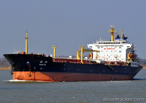
 WANG CHI
Current Status
Where is the vessel?
WANG CHI is currently in 22 nm SE of HULUDAO, based on AIS data received about 14h ago.
Latest AIS update:
Current position: 40.56557° N, 121.45149° E (22 nm SE of HULUDAO)
Average speed (last 7 days): Loading…
Average speed (last 30 days): Loading…
Vessel profile: WANG CHI is a Oil Products Tanker with dimensions m x m.
This page combines live AIS, route history, probable destination signals, nearby traffic, and port activity for practical vessel monitoring.
The current position of vessel WANG CHI is 40.56557 lat / 121.45149 lng. Updated: 2026-05-21 21:35:55 UTCNearest reference points:
- 18 nm SE of HULUDAO
- 24 nm SE of HULUDAO
- 17 nm SW of PANJIN
Currently sailing under the flag of China ![]()
Details:
Live Vessel WANG CHI Analytics (details, animations, etc.)
Recent AIS points (UTC):
2026-05-21 18:23:49 UTC · 40.56537, 121.45005 · SOG 0.2 kn · COG 146°2026-05-21 19:20:53 UTC · 40.56540, 121.45186 · SOG 0 kn · COG 217°
2026-05-21 19:35:55 UTC · 40.56554, 121.45159 · SOG 0.1 kn · COG 206°
2026-05-21 21:35:55 UTC · 40.56557, 121.45149 · SOG 0 kn · COG 200°