 SIRIUS1
Current Status
Where is the vessel?
SIRIUS1 is currently in 20 nm W of Tusdeer Free Zone, based on AIS data received about 15h ago.
Latest AIS update:
Current position: 21.52698° N, 38.79893° E (20 nm W of Tusdeer Free Zone)
Average speed (last 7 days): Loading…
Average speed (last 30 days): Loading…
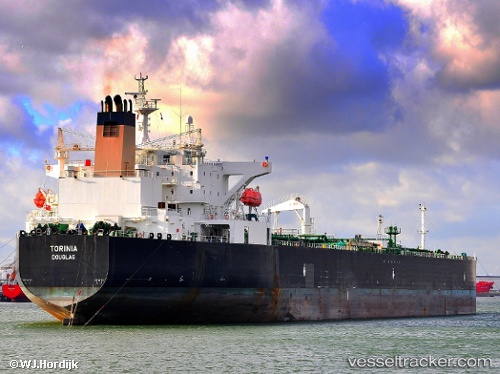
Vessel profile: SIRIUS1 is a Oil Products Tanker with dimensions m x m.
This page combines live AIS, route history, probable destination signals, nearby traffic, and port activity for practical vessel monitoring.
The current position of vessel SIRIUS1 is 21.52698 lat / 38.79893 lng. Updated: 2026-05-21 18:55:34 UTCNearest reference points:
- Near Tusdeer Free Zone
- 10 nm SW of Jeddah
- 23 nm NW of Tusdeer Free Zone
Currently sailing under the flag of Mali ![]()
Details:
Live Vessel SIRIUS1 Analytics (details, animations, etc.)
Recent AIS points (UTC):
2026-05-21 16:25:05 UTC · 21.76117, 38.41649 · SOG 10.6 kn · COG 122°2026-05-21 17:51:46 UTC · 21.62276, 38.64632 · SOG 10.5 kn · COG 122°
2026-05-21 18:55:34 UTC · 21.52698, 38.79893 · SOG 10 kn · COG -1°
2026-05-21 18:55:34 UTC · 21.52698, 38.79893 · SOG 10 kn · COG -1°