 Johanna G
Current Status
Where is the vessel?
Johanna G is currently in Near Antalya Free Zone, based on AIS data received about 14h ago.
Latest AIS update:
Current position: 36.83599° N, 30.60782° E (Near Antalya Free Zone)
Average speed (last 7 days): Loading…
Average speed (last 30 days): Loading…
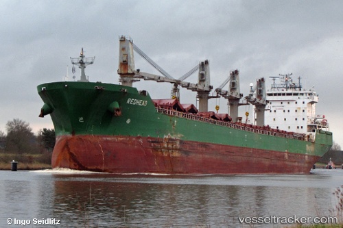
Vessel profile: Johanna G is a Bulk Carrier with dimensions 200m x 24m.
This page combines live AIS, route history, probable destination signals, nearby traffic, and port activity for practical vessel monitoring.
The current position of vessel Johanna G is 36.83599 lat / 30.60782 lng. Updated: 2026-05-20 04:25:06 UTCNearest reference points:
- Near Antalya Free Zone
- Near Antalya
- Near Kemer
Currently sailing under the flag of Portugal ![]()
Johanna G built in 2004 year
Deadweight:
37193 tDetails:
Live Vessel Johanna G Analytics (details, animations, etc.)
Recent AIS points (UTC):
2026-05-20 01:19:07 UTC · 36.83600, 30.60781 · SOG 0 kn · COG 300°2026-05-20 01:49:07 UTC · 36.83598, 30.60781 · SOG 0 kn · COG 300°
2026-05-20 04:22:20 UTC · 36.83596, 30.60780 · SOG 0 kn · COG -1°
2026-05-20 04:25:06 UTC · 36.83599, 30.60782 · SOG 0 kn · COG 300°