 KEEGAN
Current Status
Where is the vessel?
KEEGAN is currently in 29 nm S of Kukdo, based on AIS data received about 14h ago.
Latest AIS update:
Current position: 34.07898° N, 128.24409° E (29 nm S of Kukdo)
Average speed (last 7 days): Loading…
Average speed (last 30 days): Loading…
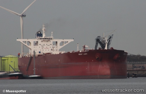
Vessel profile: KEEGAN is a Crude Oil Tanker with dimensions m x m.
This page combines live AIS, route history, probable destination signals, nearby traffic, and port activity for practical vessel monitoring.
The current position of vessel KEEGAN is 34.07898 lat / 128.24409 lng. Updated: 2026-05-19 17:35:50 UTCNearest reference points:
- 25 nm S of Kukdo
- 35 nm E of Geomundo
- 15 nm S of Kukdo
Currently sailing under the flag of Cameroon ![]()
Details:
Live Vessel KEEGAN Analytics (details, animations, etc.)
Recent AIS points (UTC):
2026-05-19 14:17:15 UTC · 34.07470, 128.22487 · SOG 0.1 kn · COG 69°2026-05-19 16:00:31 UTC · 34.07677, 128.23489 · SOG 0.1 kn · COG -1°
2026-05-19 16:00:31 UTC · 34.07677, 128.23489 · SOG 0.1 kn · COG -1°
2026-05-19 17:35:50 UTC · 34.07898, 128.24409 · SOG 0.5 kn · COG 72°