 SELENIA
Current Status
Where is the vessel?
SELENIA is currently in Near KHOR AL ZUBAIR, based on AIS data received about 14h ago.
Latest AIS update:
Current position: 30.20541° N, 47.87592° E (Near KHOR AL ZUBAIR)
Average speed (last 7 days): Loading…
Average speed (last 30 days): Loading…
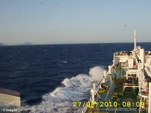
Vessel profile: SELENIA is a Oil Products Tanker with dimensions m x m.
This page combines live AIS, route history, probable destination signals, nearby traffic, and port activity for practical vessel monitoring.
The current position of vessel SELENIA is 30.20541 lat / 47.87592 lng. Updated: 2026-05-20 06:13:21 UTCNearest reference points:
- Near KHOR AL ZUBAIR
- Near Abadan
- Near Doha
Currently sailing under the flag of Palau ![]()
Details:
Live Vessel SELENIA Analytics (details, animations, etc.)
Recent AIS points (UTC):
2026-05-20 01:35:32 UTC · 30.20540, 47.87594 · SOG 0 kn · COG 329°2026-05-20 03:38:34 UTC · 30.20540, 47.87594 · SOG 0 kn · COG 329°
2026-05-20 04:02:47 UTC · 30.20540, 47.87596 · SOG 0 kn · COG 329°
2026-05-20 06:13:21 UTC · 30.20541, 47.87592 · SOG 0 kn · COG 329°