 LUCA
LUCA
Current Status
Where is the vessel?
LUCA is currently in 17 nm NW of Viinistu Sadam, based on AIS data received about 15h ago.
Latest AIS update:
Current position: 59.89323° N, 25.49034° E (17 nm NW of Viinistu Sadam)
Average speed (last 7 days): Loading…
Average speed (last 30 days): Loading…
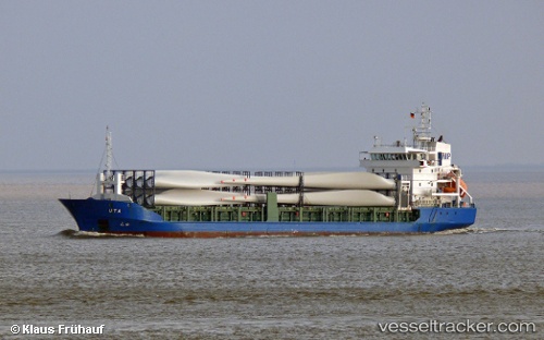
Vessel profile: LUCA is a General Cargo Ship with dimensions 101m x 180m.
This page combines live AIS, route history, probable destination signals, nearby traffic, and port activity for practical vessel monitoring.
The current position of vessel LUCA is 59.89323 lat / 25.49034 lng. Updated: 2026-05-19 10:11:01 UTCNearest reference points:
- 13 nm N of Viinistu Sadam
- Near Vessölandet
- Near Vuosaari (Nordsjö)
Currently sailing under the flag of Antigua and Barbuda ![]()
LUCA built in 2004 year
Deadweight:
4815 tDetails:
Live Vessel LUCA Analytics (details, animations, etc.)
Recent AIS points (UTC):
2026-05-19 07:05:22 UTC · 60.00140, 26.41553 · SOG 9.4 kn · COG 255°2026-05-19 08:20:05 UTC · 59.95537, 26.04113 · SOG 9.2 kn · COG 257°
2026-05-19 10:09:12 UTC · 59.89417, 25.49936 · SOG 9.1 kn · COG 257°
2026-05-19 10:11:01 UTC · 59.89323, 25.49034 · SOG 9.2 kn · COG 257°