 SUNNY KANKAN
Current Status
Where is the vessel?
SUNNY KANKAN is currently in Near ST FRANCIS, based on AIS data received about 14h ago.
Latest AIS update:
Current position: 34.28887° S, 24.94217° E (Near ST FRANCIS)
Average speed (last 7 days): Loading…
Average speed (last 30 days): Loading…
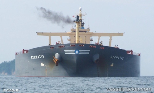
Vessel profile: SUNNY KANKAN is a Bulk Carrier with dimensions m x m.
This page combines live AIS, route history, probable destination signals, nearby traffic, and port activity for practical vessel monitoring.
The current position of vessel SUNNY KANKAN is -34.28887 lat / 24.94217 lng. Updated: 2026-05-22 07:58:54 UTCNearest reference points:
- 21 nm S of Mount Pleasant
- Near Deal Party
Currently sailing under the flag of Liberia ![]()
Details:
Live Vessel SUNNY KANKAN Analytics (details, animations, etc.)
Recent AIS points (UTC):
2026-05-22 04:16:04 UTC · -34.14912, 25.68432 · SOG 10.4 kn · COG 260°2026-05-22 06:21:35 UTC · -34.22518, 25.26654 · SOG 10.2 kn · COG 257°
2026-05-22 07:23:25 UTC · -34.26525, 25.05997 · SOG 10.1 kn · COG 257°
2026-05-22 07:58:54 UTC · -34.28887, 24.94217 · SOG 10.1 kn · COG 260°