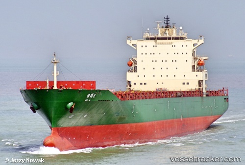
 HENG HUI 6
Current Status
Where is the vessel?
HENG HUI 6 is currently in 23 nm E of Kurasini, based on AIS data received about 14h ago.
Latest AIS update:
Current position: 6.97450° S, 39.64449° E (23 nm E of Kurasini)
Average speed (last 7 days): Loading…
Average speed (last 30 days): Loading…
Vessel profile: HENG HUI 6 is a Container Ship with dimensions m x m.
This page combines live AIS, route history, probable destination signals, nearby traffic, and port activity for practical vessel monitoring.
The current position of vessel HENG HUI 6 is -6.97450 lat / 39.64449 lng. Updated: 2026-05-19 10:10:40 UTCNearest reference points:
- Near Dar Es Salaam
- 64 nm NE of Mtwara
Currently sailing under the flag of China ![]()
Details:
Live Vessel HENG HUI 6 Analytics (details, animations, etc.)
Recent AIS points (UTC):
2026-05-19 06:58:54 UTC · -7.02178, 39.69258 · SOG 7.3 kn · COG 179°2026-05-19 08:19:23 UTC · -7.02090, 39.68541 · SOG 1.6 kn · COG 93°
2026-05-19 10:00:31 UTC · -6.97917, 39.64518 · SOG 2.3 kn · COG 79°
2026-05-19 10:10:40 UTC · -6.97450, 39.64449 · SOG 3.1 kn · COG 115°