 JINMING 69
Current Status
Where is the vessel?
JINMING 69 is currently in 11 nm SE of Abu Musa, based on AIS data received about 2d ago.
Latest AIS update:
Current position: 25.71486° N, 55.13703° E (11 nm SE of Abu Musa)
Average speed (last 7 days): Loading…
Average speed (last 30 days): Loading…
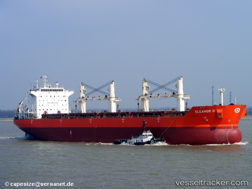
Vessel profile: JINMING 69 is a Bulk Carrier with dimensions m x m.
This page combines live AIS, route history, probable destination signals, nearby traffic, and port activity for practical vessel monitoring.
The current position of vessel JINMING 69 is 25.71486 lat / 55.13703 lng. Updated: 2026-05-19 02:26:53 UTCNearest reference points:
- Near Sharjah
- 17 nm NW of Free Port
- Near AJMAN
Currently sailing under the flag of Barbados ![]()
Details:
Live Vessel JINMING 69 Analytics (details, animations, etc.)
Recent AIS points (UTC):
2026-05-19 02:26:53 UTC · 25.71486, 55.13703 · SOG 0.4 kn · COG -1°2026-05-19 02:26:53 UTC · 25.71486, 55.13703 · SOG 0.4 kn · COG -1°
2026-05-19 02:26:53 UTC · 25.71486, 55.13703 · SOG 0.4 kn · COG -1°
2026-05-19 02:26:53 UTC · 25.71486, 55.13703 · SOG 0.4 kn · COG -1°