 ANNA MARIA P
Current Status
Where is the vessel?
ANNA MARIA P is currently in 42 nm W of Ponta do Pargo, based on AIS data received about 17h ago.
Latest AIS update:
Current position: 33.01220° N, 18.03753° W (42 nm W of Ponta do Pargo)
Average speed (last 7 days): Loading…
Average speed (last 30 days): Loading…
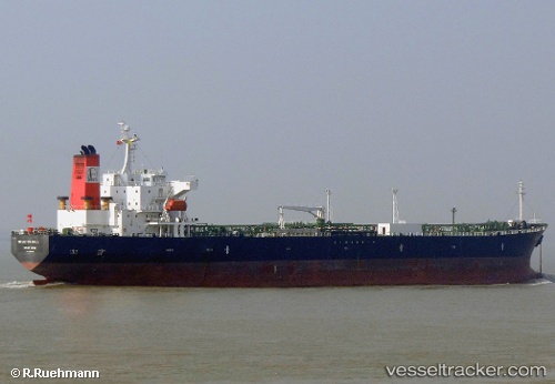
Vessel profile: ANNA MARIA P is a Oil Products Tanker with dimensions 183m x 32m.
This page combines live AIS, route history, probable destination signals, nearby traffic, and port activity for practical vessel monitoring.
The current position of vessel ANNA MARIA P is 33.01220 lat / -18.03753 lng. Updated: 2026-05-20 17:33:01 UTCNearest reference points:
- 124 nm SW of Ponta do Pargo
- 150 nm NW of Ponta do Pargo
- 137 nm SW of Ponta do Pargo
Currently sailing under the flag of Liberia ![]()
ANNA MARIA P built in 2005 year
Deadweight:
47278 tDetails:
Live Vessel ANNA MARIA P Analytics (details, animations, etc.)
Recent AIS points (UTC):
2026-05-20 13:39:21 UTC · 32.28483, -18.37751 · SOG 11.9 kn · COG 16°2026-05-20 16:06:31 UTC · 32.74181, -18.16035 · SOG 11.7 kn · COG 17°
2026-05-20 16:51:50 UTC · 32.88206, -18.09392 · SOG 11.8 kn · COG 18°
2026-05-20 17:33:01 UTC · 33.01220, -18.03753 · SOG 12.4 kn · COG 18°