 PL GERMANY
Current Status
Where is the vessel?
PL GERMANY is currently in 102 nm S of CLARK'S HARBOUR, based on AIS data received about 14h ago.
Latest AIS update:
Current position: 41.76613° N, 66.00590° W (102 nm S of CLARK'S HARBOUR)
Average speed (last 7 days): Loading…
Average speed (last 30 days): Loading…
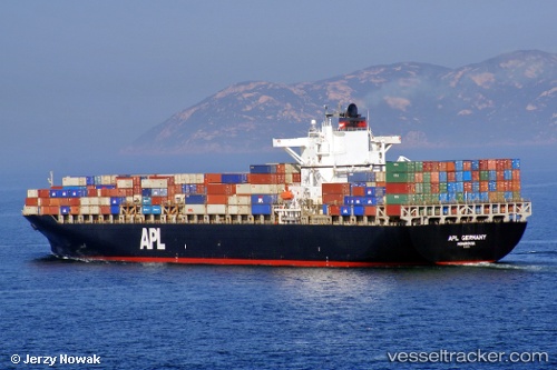
Vessel profile: PL GERMANY is a Container Ship with dimensions m x m.
This page combines live AIS, route history, probable destination signals, nearby traffic, and port activity for practical vessel monitoring.
The current position of vessel PL GERMANY is 41.76613 lat / -66.00590 lng. Updated: 2026-05-21 04:38:32 UTCNearest reference points:
- Near Lower Woods Harbour
- Near Wedgeport
- Near Liverpool
Currently sailing under the flag of Singapore ![]()
Details:
Live Vessel PL GERMANY Analytics (details, animations, etc.)
Recent AIS points (UTC):
2026-05-21 01:52:20 UTC · 42.04602, -66.47877 · SOG 10.2 kn · COG 127°2026-05-21 01:52:20 UTC · 42.04602, -66.47877 · SOG 10.2 kn · COG 127°
2026-05-21 04:07:18 UTC · 41.81573, -66.09482 · SOG 9.7 kn · COG 129°
2026-05-21 04:38:32 UTC · 41.76613, -66.00590 · SOG 9.6 kn · COG 131°