 PLUTON
Current Status
Where is the vessel?
PLUTON is currently in 11 nm N of Ras Gharib, based on AIS data received about 14h ago.
Latest AIS update:
Current position: 28.52518° N, 33.11019° E (11 nm N of Ras Gharib)
Average speed (last 7 days): Loading…
Average speed (last 30 days): Loading…
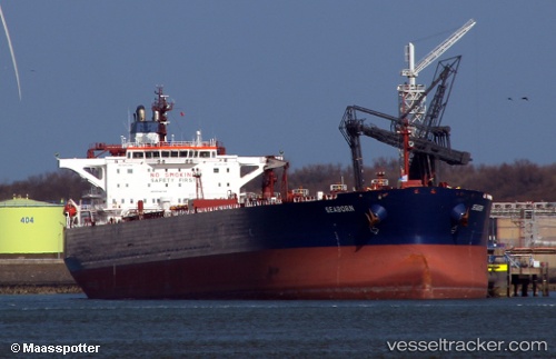
Vessel profile: PLUTON is a Crude Oil Tanker with dimensions m x m.
This page combines live AIS, route history, probable destination signals, nearby traffic, and port activity for practical vessel monitoring.
The current position of vessel PLUTON is 28.52518 lat / 33.11019 lng. Updated: 2026-05-21 13:53:54 UTCNearest reference points:
- Near Ras Gharib
- 19 nm SE of Zeit Bay
- Near El-Guna (El Gouna)
Currently sailing under the flag of Russia ![]()
Details:
Live Vessel PLUTON Analytics (details, animations, etc.)
Recent AIS points (UTC):
2026-05-21 10:48:56 UTC · 28.02553, 33.52747 · SOG 13.1 kn · COG 314°2026-05-21 11:23:57 UTC · 28.11572, 33.42296 · SOG 13.1 kn · COG 314°
2026-05-21 13:03:57 UTC · 28.40434, 33.19203 · SOG 6.6 kn · COG 330°
2026-05-21 13:53:54 UTC · 28.52518, 33.11019 · SOG 13 kn · COG 327°