 PACKARD
Current Status
Where is the vessel?
PACKARD is currently in 31 nm NE of Verzy, based on AIS data received about 15h ago.
Latest AIS update:
Current position: 49.53922° N, 3.66050° W (31 nm NE of Verzy)
Average speed (last 7 days): Loading…
Average speed (last 30 days): Loading…
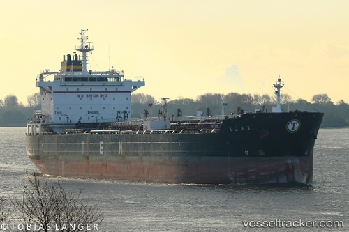
Vessel profile: PACKARD is a Oil/Chemical Tanker with dimensions m x m.
This page combines live AIS, route history, probable destination signals, nearby traffic, and port activity for practical vessel monitoring.
The current position of vessel PACKARD is 49.53922 lat / -3.66050 lng. Updated: 2026-05-20 22:13:43 UTCNearest reference points:
- 27 nm N of Verzy
- Near Verzy
- 12 nm S of Cornwall
Currently sailing under the flag of Barbados ![]()
Details:
Live Vessel PACKARD Analytics (details, animations, etc.)
Recent AIS points (UTC):
2026-05-20 16:57:06 UTC · 48.93747, -5.22149 · SOG 13.1 kn · COG 67°2026-05-20 17:35:07 UTC · 49.00090, -5.03359 · SOG 13.7 kn · COG 65°
2026-05-20 22:04:43 UTC · 49.52410, -3.70466 · SOG 12.7 kn · COG 62°
2026-05-20 22:13:43 UTC · 49.53922, -3.66050 · SOG 12.7 kn · COG 62°