 BRIDGET
Current Status
Where is the vessel?
BRIDGET is currently in 17 nm S of Cape Of Good Hope, based on AIS data received about 17h ago.
Latest AIS update:
Current position: 34.63757° S, 18.26387° E (17 nm S of Cape Of Good Hope)
Average speed (last 7 days): Loading…
Average speed (last 30 days): Loading…
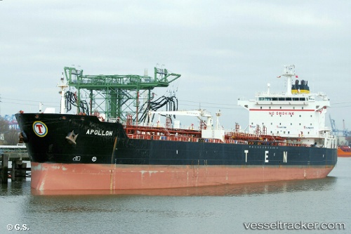
Vessel profile: BRIDGET is a Oil/Chemical Tanker with dimensions m x m.
This page combines live AIS, route history, probable destination signals, nearby traffic, and port activity for practical vessel monitoring.
The current position of vessel BRIDGET is -34.63757 lat / 18.26387 lng. Updated: 2026-05-20 06:44:03 UTCNearest reference points:
- 18 nm SW of Cape Of Good Hope
- 15 nm SE of Moorreesburg
- Near HOUT BAY
Currently sailing under the flag of Barbados ![]()
Details:
Live Vessel BRIDGET Analytics (details, animations, etc.)
Recent AIS points (UTC):
2026-05-20 06:44:03 UTC · -34.63757, 18.26387 · SOG 12.1 kn · COG 336°2026-05-20 06:44:03 UTC · -34.63757, 18.26387 · SOG 12.1 kn · COG 336°
2026-05-20 06:44:03 UTC · -34.63757, 18.26387 · SOG 12.1 kn · COG 336°
2026-05-20 06:44:03 UTC · -34.63757, 18.26387 · SOG 12.1 kn · COG 336°