 UNIJE
UNIJE
Current Status
Where is the vessel?
UNIJE is currently in Near MALI LOSINJ, based on AIS data received about 14h ago.
Latest AIS update:
Current position: 44.53782° N, 14.46403° E (Near MALI LOSINJ)
Average speed (last 7 days): Loading…
Average speed (last 30 days): Loading…
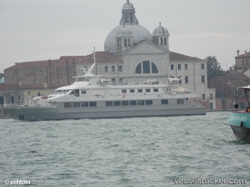
Vessel profile: UNIJE is a Passenger with dimensions m x m.
This page combines live AIS, route history, probable destination signals, nearby traffic, and port activity for practical vessel monitoring.
The current position of vessel UNIJE is 44.53782 lat / 14.46403 lng. Updated: 2026-05-20 01:04:17 UTCNearest reference points:
- Near MALI LOSINJ
- Near Veli Losinj
- Near Ist
Currently sailing under the flag of Croatia ![]()
Details:
Live Vessel UNIJE Analytics (details, animations, etc.)
Recent AIS points (UTC):
2026-05-19 21:40:16 UTC · 44.53781, 14.46405 · SOG 0 kn · COG -1°2026-05-19 22:46:14 UTC · 44.53780, 14.46406 · SOG 0 kn · COG -1°
2026-05-19 23:58:17 UTC · 44.53782, 14.46405 · SOG 0 kn · COG -1°
2026-05-20 01:04:17 UTC · 44.53782, 14.46403 · SOG 0 kn · COG -1°