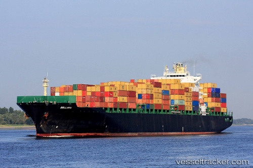
 Bellavia
Current Status
Where is the vessel?
Bellavia is currently in 134 nm NE of Kings Bromley, based on AIS data received about 14h ago.
Latest AIS update:
Current position: 54.60590° N, 146.95444° W (134 nm NE of Kings Bromley)
Average speed (last 7 days): Loading…
Average speed (last 30 days): Loading…
Vessel profile: Bellavia is a Container Ship with dimensions 294m x 32m.
This page combines live AIS, route history, probable destination signals, nearby traffic, and port activity for practical vessel monitoring.
The current position of vessel Bellavia is 54.60590 lat / -146.95444 lng. Updated: 2026-05-22 16:06:07 UTCCurrently sailing under the flag of Liberia ![]()
Bellavia built in 2005 year
Deadweight:
66478 tDetails:
Live Vessel Bellavia Analytics (details, animations, etc.)
Recent AIS points (UTC):
2026-05-22 11:53:52 UTC · 54.55132, -148.99393 · SOG 16.3 kn · COG 89°2026-05-22 13:17:47 UTC · 54.56500, -148.34058 · SOG 16.5 kn · COG 89°
2026-05-22 14:04:35 UTC · 54.57270, -147.97614 · SOG 16 kn · COG 89°
2026-05-22 16:06:07 UTC · 54.60590, -146.95444 · SOG 15.8 kn · COG 89°