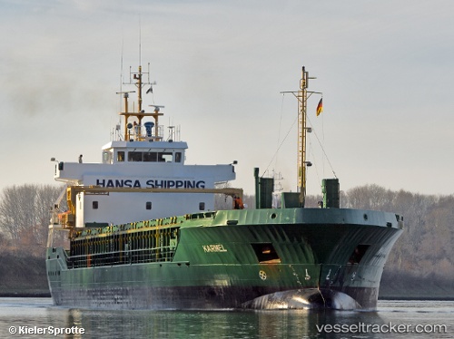
 KARMEL
Current Status
Where is the vessel?
KARMEL is currently in Near Haspe, based on AIS data received about 14h ago.
Latest AIS update:
Current position: 54.27627° N, 7.33261° E (Near Haspe)
Average speed (last 7 days): Loading…
Average speed (last 30 days): Loading…
Vessel profile: KARMEL is a General Cargo with dimensions m x m.
This page combines live AIS, route history, probable destination signals, nearby traffic, and port activity for practical vessel monitoring.
The current position of vessel KARMEL is 54.27627 lat / 7.33261 lng. Updated: 2026-05-19 01:48:15 UTCNearest reference points:
- Near Helgoland
- Near Wangerooge
- Near NORDERNEY
Currently sailing under the flag of Antigua and Barbuda ![]()
Details:
Live Vessel KARMEL Analytics (details, animations, etc.)
Recent AIS points (UTC):
2026-05-18 23:00:46 UTC · 53.87667, 7.84631 · SOG 10.4 kn · COG 286°2026-05-19 00:06:26 UTC · 54.01597, 7.63923 · SOG 10.9 kn · COG 326°
2026-05-19 01:21:27 UTC · 54.22181, 7.44779 · SOG 11.7 kn · COG 311°
2026-05-19 01:48:15 UTC · 54.27627, 7.33261 · SOG 11.6 kn · COG 311°