 CAPE MARY M
Current Status
Where is the vessel?
CAPE MARY M is currently in 146 nm SE of Manakara, based on AIS data received about 14h ago.
Latest AIS update:
Current position: 24.06815° S, 49.64708° E (146 nm SE of Manakara)
Average speed (last 7 days): Loading…
Average speed (last 30 days): Loading…
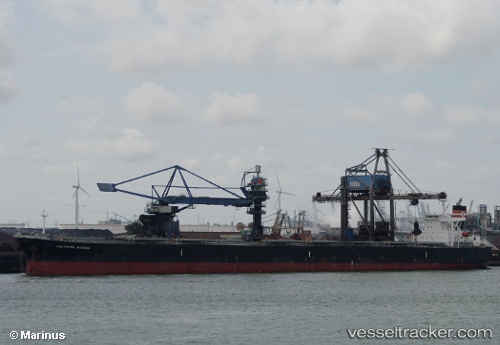
Vessel profile: CAPE MARY M is a Bulk Carrier with dimensions 45m x 289m.
This page combines live AIS, route history, probable destination signals, nearby traffic, and port activity for practical vessel monitoring.
The current position of vessel CAPE MARY M is -24.06815 lat / 49.64708 lng. Updated: 2026-05-19 04:18:45 UTCNearest reference points:
- 194 nm E of Manakara
- 209 nm E of Manakara
- 271 nm E of Fort Dauphin
Currently sailing under the flag of Cyprus ![]()
CAPE MARY M built in 2004 year
Deadweight:
177325 tDetails:
Live Vessel CAPE MARY M Analytics (details, animations, etc.)
Recent AIS points (UTC):
2026-05-19 01:19:14 UTC · -23.77925, 50.12353 · SOG 10.7 kn · COG 240°2026-05-19 02:16:42 UTC · -23.86758, 49.96375 · SOG 10.6 kn · COG 235°
2026-05-19 04:00:04 UTC · -24.03900, 49.69572 · SOG 10.2 kn · COG 235°
2026-05-19 04:18:45 UTC · -24.06815, 49.64708 · SOG 10.3 kn · COG 239°