 CLOVIS
Current Status
Where is the vessel?
CLOVIS is currently in 13 nm NE of Viinistu Sadam, based on AIS data received about 15h ago.
Latest AIS update:
Current position: 59.82783° N, 26.01585° E (13 nm NE of Viinistu Sadam)
Average speed (last 7 days): Loading…
Average speed (last 30 days): Loading…
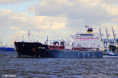
Vessel profile: CLOVIS is a Oil/Chemical Tanker with dimensions m x m.
This page combines live AIS, route history, probable destination signals, nearby traffic, and port activity for practical vessel monitoring.
The current position of vessel CLOVIS is 59.82783 lat / 26.01585 lng. Updated: 2026-05-21 11:21:46 UTCNearest reference points:
- 13 nm N of Viinistu Sadam
- Near Vessölandet
- Near Vuosaari (Nordsjö)
Currently sailing under the flag of Barbados ![]()
Details:
Live Vessel CLOVIS Analytics (details, animations, etc.)
Recent AIS points (UTC):
2026-05-21 08:12:49 UTC · 59.82746, 26.01594 · SOG 0 kn · COG 251°2026-05-21 09:54:44 UTC · 59.82720, 26.01599 · SOG 0 kn · COG 263°
2026-05-21 10:51:44 UTC · 59.82773, 26.01557 · SOG 0.1 kn · COG 244°
2026-05-21 11:21:46 UTC · 59.82783, 26.01585 · SOG 0.1 kn · COG 237°