 TOPAZ
TOPAZ
Current Status
Where is the vessel?
TOPAZ is currently in Near Chongming, based on AIS data received about 14h ago.
Latest AIS update:
Current position: 31.59207° N, 121.44920° E (Near Chongming)
Average speed (last 7 days): Loading…
Average speed (last 30 days): Loading…
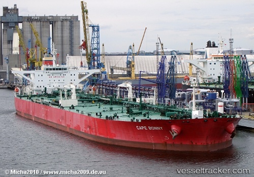
Vessel profile: TOPAZ is a Crude Oil Tanker with dimensions m x m.
This page combines live AIS, route history, probable destination signals, nearby traffic, and port activity for practical vessel monitoring.
The current position of vessel TOPAZ is 31.59207 lat / 121.44920 lng. Updated: 2026-05-20 01:46:15 UTCNearest reference points:
- Near Chongming
- Near Baoshan Pt
- Near Taicang
Currently sailing under the flag of Liberia ![]()
Details:
Live Vessel TOPAZ Analytics (details, animations, etc.)
Recent AIS points (UTC):
2026-05-19 22:22:12 UTC · 31.59191, 121.44921 · SOG 0 kn · COG 290°2026-05-20 00:22:17 UTC · 31.59191, 121.44915 · SOG 0 kn · COG 290°
2026-05-20 01:22:17 UTC · 31.59180, 121.44919 · SOG 0.1 kn · COG 291°
2026-05-20 01:46:15 UTC · 31.59207, 121.44920 · SOG 0 kn · COG 290°