 MOONLIT
Current Status
Where is the vessel?
MOONLIT is currently in 52 nm SW of Kendawangan, based on AIS data received about 15h ago.
Latest AIS update:
Current position: 3.13574° S, 109.56637° E (52 nm SW of Kendawangan)
Average speed (last 7 days): Loading…
Average speed (last 30 days): Loading…
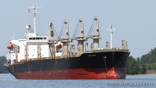
Vessel profile: MOONLIT is a Bulk Carrier with dimensions m x m.
This page combines live AIS, route history, probable destination signals, nearby traffic, and port activity for practical vessel monitoring.
The current position of vessel MOONLIT is -3.13574 lat / 109.56637 lng. Updated: 2026-05-21 13:43:50 UTCNearest reference points:
- 45 nm SW of Kendawangan
- 39 nm NW of Kendawangan
- 20 nm N of Kendawangan
Currently sailing under the flag of Saint Vincent and the Grenadines ![]()
Details:
Live Vessel MOONLIT Analytics (details, animations, etc.)
Recent AIS points (UTC):
2026-05-21 09:30:39 UTC · -2.59126, 109.15100 · SOG 9.8 kn · COG -1°2026-05-21 11:58:41 UTC · -2.88927, 109.41876 · SOG 9.6 kn · COG -1°
2026-05-21 13:28:49 UTC · -3.09967, 109.54482 · SOG 9.8 kn · COG -1°
2026-05-21 13:43:50 UTC · -3.13574, 109.56637 · SOG 10.1 kn · COG -1°