 vesseltracker.com
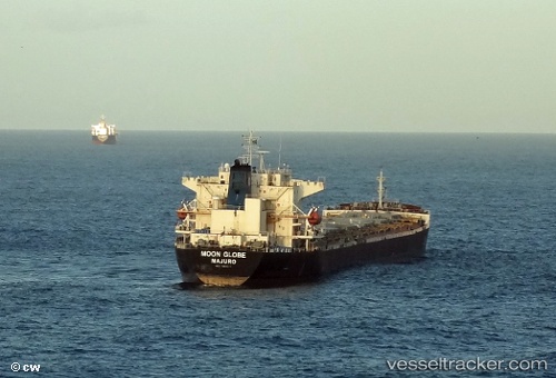
 AH GLOBE
Current Status
Where is the vessel?
AH GLOBE is currently in Near GELENDZHIK, based on AIS data received about 15h ago.
Latest AIS update:
Current position: 44.57368° N, 38.08239° E (Near GELENDZHIK)
Average speed (last 7 days): Loading…
Average speed (last 30 days): Loading…
Vessel profile: AH GLOBE is a Bulk Carrier with dimensions m x m.
This page combines live AIS, route history, probable destination signals, nearby traffic, and port activity for practical vessel monitoring.
The current position of vessel AH GLOBE is 44.57368 lat / 38.08239 lng. Updated: 2026-05-18 13:13:01 UTCNearest reference points:
- Near GELENDZHIK
- 11 nm SE of GELENDZHIK
- Near Novorossiysk
Currently sailing under the flag of Panama ![]()
Details:
Live Vessel AH GLOBE Analytics (details, animations, etc.)
Recent AIS points (UTC):
2026-05-18 10:24:45 UTC · 44.65652, 37.75917 · SOG 19.2 kn · COG 257°2026-05-18 12:05:25 UTC · 44.65386, 37.98320 · SOG 9.7 kn · COG 296°
2026-05-18 12:55:16 UTC · 44.58006, 38.10888 · SOG 11.9 kn · COG 330°
2026-05-18 13:13:01 UTC · 44.57368, 38.08239 · SOG 20.7 kn · COG 335°