 EA BARU
Current Status
Where is the vessel?
EA BARU is currently in 74 nm NE of Playón Chico, based on AIS data received about 22h ago.
Latest AIS update:
Current position: 10.07107° N, 77.25015° W (74 nm NE of Playón Chico)
Average speed (last 7 days): Loading…
Average speed (last 30 days): Loading…
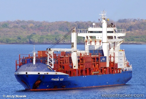
Vessel profile: EA BARU is a Container Ship with dimensions m x m.
This page combines live AIS, route history, probable destination signals, nearby traffic, and port activity for practical vessel monitoring.
The current position of vessel EA BARU is 10.07107 lat / -77.25015 lng. Updated: 2026-05-22 07:55:35 UTCNearest reference points:
- 62 nm NE of Playón Chico
- 15 nm NE of Capurgana
- Near Sociedad Portuaria Regional Cartagena
Currently sailing under the flag of Liberia ![]()
Details:
Live Vessel EA BARU Analytics (details, animations, etc.)
Recent AIS points (UTC):
2026-05-22 07:55:35 UTC · 10.07107, -77.25015 · SOG 15.2 kn · COG 264°2026-05-22 07:55:35 UTC · 10.07107, -77.25015 · SOG 15.2 kn · COG 264°
2026-05-22 07:55:35 UTC · 10.07107, -77.25015 · SOG 15.2 kn · COG 264°
2026-05-22 07:55:35 UTC · 10.07107, -77.25015 · SOG 15.2 kn · COG 264°