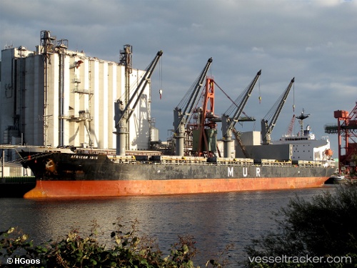
 ABDULLAH M
Current Status
Where is the vessel?
ABDULLAH M is currently in 20 nm NE of Al Gurdagah, based on AIS data received about 14h ago.
Latest AIS update:
Current position: 27.58005° N, 33.97717° E (20 nm NE of Al Gurdagah)
Average speed (last 7 days): Loading…
Average speed (last 30 days): Loading…
Vessel profile: ABDULLAH M is a Bulk Carrier with dimensions m x m.
This page combines live AIS, route history, probable destination signals, nearby traffic, and port activity for practical vessel monitoring.
The current position of vessel ABDULLAH M is 27.58005 lat / 33.97717 lng. Updated: 2026-05-29 10:21:39 UTCNearest reference points:
- 19 nm SE of Zeit Bay
- Near El-Guna (El Gouna)
- Near Bur Safaga
Currently sailing under the flag of Saint Kitts and Nevis ![]()
Details:
Live Vessel ABDULLAH M Analytics (details, animations, etc.)
Recent AIS points (UTC):
2026-05-29 07:36:40 UTC · 27.92931, 33.59127 · SOG 10.7 kn · COG 134°2026-05-29 07:36:40 UTC · 27.92931, 33.59127 · SOG 10.7 kn · COG 134°
2026-05-29 09:22:30 UTC · 27.70108, 33.83225 · SOG 10.6 kn · COG 138°
2026-05-29 10:21:39 UTC · 27.58005, 33.97717 · SOG 10.8 kn · COG 131°