 LADY BABU
Current Status
Where is the vessel?
LADY BABU is currently in 231 nm SW of Tsiombe, based on AIS data received about 14h ago.
Latest AIS update:
Current position: 28.32730° S, 42.81780° E (231 nm SW of Tsiombe)
Average speed (last 7 days): Loading…
Average speed (last 30 days): Loading…
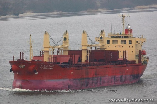
Vessel profile: LADY BABU is a Bulk Carrier with dimensions m x m.
This page combines live AIS, route history, probable destination signals, nearby traffic, and port activity for practical vessel monitoring.
The current position of vessel LADY BABU is -28.32730 lat / 42.81780 lng. Updated: 2026-05-19 04:18:45 UTCNearest reference points:
- 148 nm SW of Tsiombe
- 391 nm SW of Tsiombe
- 70 nm SW of Tsiombe
Currently sailing under the flag of Panama ![]()
Details:
Live Vessel LADY BABU Analytics (details, animations, etc.)
Recent AIS points (UTC):
2026-05-19 01:18:26 UTC · -28.48593, 42.28048 · SOG 10.2 kn · COG 65°2026-05-19 02:19:07 UTC · -28.41118, 42.45097 · SOG 9.7 kn · COG 69°
2026-05-19 04:00:40 UTC · -28.34107, 42.76262 · SOG 10.1 kn · COG 75°
2026-05-19 04:18:45 UTC · -28.32730, 42.81780 · SOG 10 kn · COG 82°