 TN RHEA
Current Status
Where is the vessel?
TN RHEA is currently in 13 nm S of Gamcheon/Busan, based on AIS data received about 14h ago.
Latest AIS update:
Current position: 34.86788° N, 129.02855° E (13 nm S of Gamcheon/Busan)
Average speed (last 7 days): Loading…
Average speed (last 30 days): Loading…
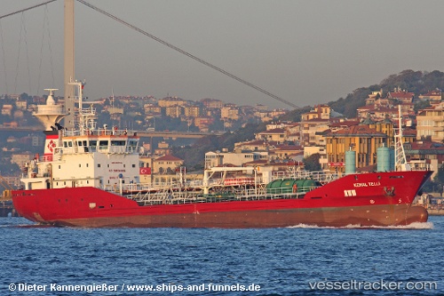
Vessel profile: TN RHEA is a Oil/Chemical Tanker with dimensions m x m.
This page combines live AIS, route history, probable destination signals, nearby traffic, and port activity for practical vessel monitoring.
The current position of vessel TN RHEA is 34.86788 lat / 129.02855 lng. Updated: 2026-05-21 07:53:09 UTCNearest reference points:
- 15 nm E of OKPO
- 20 nm W of HITAKATSU
- Near Gamcheon/Busan
Currently sailing under the flag of South Korea ![]()
Details:
Live Vessel TN RHEA Analytics (details, animations, etc.)
Recent AIS points (UTC):
2026-05-21 03:58:27 UTC · 34.50387, 128.27412 · SOG 10.5 kn · COG 64°2026-05-21 05:42:08 UTC · 34.63993, 128.62514 · SOG 11.5 kn · COG 62°
2026-05-21 07:14:17 UTC · 34.80333, 128.91377 · SOG 11 kn · COG 59°
2026-05-21 07:53:09 UTC · 34.86788, 129.02855 · SOG 10.3 kn · COG 56°