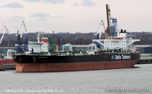
 BOUBOULINA
Current Status
Where is the vessel?
BOUBOULINA is currently in 52 nm NE of PENGERANG, based on AIS data received about 14h ago.
Latest AIS update:
Current position: 1.92420° N, 104.79133° E (52 nm NE of PENGERANG)
Average speed (last 7 days): Loading…
Average speed (last 30 days): Loading…
Vessel profile: BOUBOULINA is a Crude Oil Tanker with dimensions m x m.
This page combines live AIS, route history, probable destination signals, nearby traffic, and port activity for practical vessel monitoring.
The current position of vessel BOUBOULINA is 1.92420 lat / 104.79133 lng. Updated: 2026-05-21 12:13:42 UTCNearest reference points:
- 51 nm NE of PENGERANG
- 53 nm NE of PENGERANG
- 55 nm NE of PENGERANG
Currently sailing under the flag of Liberia ![]()
Details:
Live Vessel BOUBOULINA Analytics (details, animations, etc.)
Recent AIS points (UTC):
2026-05-21 08:04:42 UTC · 1.92422, 104.79105 · SOG 0.1 kn · COG 329°2026-05-21 09:25:42 UTC · 1.92458, 104.79160 · SOG 0.1 kn · COG 322°
2026-05-21 10:13:42 UTC · 1.92450, 104.79143 · SOG 0.1 kn · COG 329°
2026-05-21 12:13:42 UTC · 1.92420, 104.79133 · SOG 0 kn · COG 332°