 OTLA
OTLA
Current Status
Where is the vessel?
OTLA is currently in 55 nm NE of PENGERANG, based on AIS data received about 14h ago.
Latest AIS update:
Current position: 2.00383° N, 104.79355° E (55 nm NE of PENGERANG)
Average speed (last 7 days): Loading…
Average speed (last 30 days): Loading…
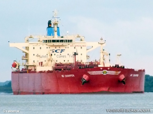
Vessel profile: OTLA is a Crude Oil Tanker with dimensions m x m.
This page combines live AIS, route history, probable destination signals, nearby traffic, and port activity for practical vessel monitoring.
The current position of vessel OTLA is 2.00383 lat / 104.79355 lng. Updated: 2026-05-22 01:14:06 UTCNearest reference points:
- 55 nm NE of PENGERANG
- 53 nm NE of PENGERANG
- 51 nm NE of PENGERANG
Currently sailing under the flag of Zimbabwe ![]()
Details:
Live Vessel OTLA Analytics (details, animations, etc.)
Recent AIS points (UTC):
2026-05-21 19:26:10 UTC · 2.00287, 104.79529 · SOG 0 kn · COG 233°2026-05-21 21:45:39 UTC · 2.00333, 104.79333 · SOG 0 kn · COG -1°
2026-05-21 23:11:07 UTC · 2.00372, 104.79393 · SOG 0.1 kn · COG 196°
2026-05-22 01:14:06 UTC · 2.00383, 104.79355 · SOG 0.2 kn · COG 187°