 SMS STANZA
Current Status
Where is the vessel?
SMS STANZA is currently in Near Erawan, based on AIS data received about 14h ago.
Latest AIS update:
Current position: 9.02500° N, 101.52167° E (Near Erawan)
Average speed (last 7 days): Loading…
Average speed (last 30 days): Loading…
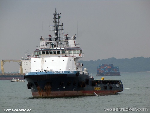
Vessel profile: SMS STANZA is a Anchor Handling Vessel with dimensions m x m.
This page combines live AIS, route history, probable destination signals, nearby traffic, and port activity for practical vessel monitoring.
The current position of vessel SMS STANZA is 9.02500 lat / 101.52167 lng. Updated: 2026-05-18 18:06:59 UTCNearest reference points:
- 46 nm W of Dai Hung (STS Load)
- 45 nm NW of Muda Marine Terminal
- 63 nm NW of Dai Hung (STS Load)
Currently sailing under the flag of Indonesia ![]()
Details:
Live Vessel SMS STANZA Analytics (details, animations, etc.)
Recent AIS points (UTC):
2026-05-18 14:19:01 UTC · 9.04000, 101.50833 · SOG 1 kn · COG -1°2026-05-18 16:12:57 UTC · 9.04167, 101.49500 · SOG 0 kn · COG -1°
2026-05-18 16:19:01 UTC · 9.04167, 101.49333 · SOG 0 kn · COG -1°
2026-05-18 18:06:59 UTC · 9.02500, 101.52167 · SOG 0 kn · COG -1°