 vesseltracker.com
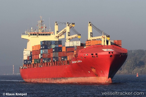
 Rita
Rita
Current Status
Where is the vessel?
Rita is currently in 42 nm N of Puerto Colombia, based on AIS data received about 15h ago.
Latest AIS update:
Current position: 11.67791° N, 75.09059° W (42 nm N of Puerto Colombia)
Average speed (last 7 days): Loading…
Average speed (last 30 days): Loading…
Vessel profile: Rita is a Container Ship with dimensions 207m x 206m.
This page combines live AIS, route history, probable destination signals, nearby traffic, and port activity for practical vessel monitoring.
The current position of vessel Rita is 11.67791 lat / -75.09059 lng. Updated: 2026-05-18 09:38:43 UTCNearest reference points:
- 18 nm N of Santa Marta
- Near Santa Marta
- Near Sociedad Portuaria Regional Cartagena
Currently sailing under the flag of Portugal ![]()
Rita built in 2007 year
Deadweight:
37213 tDetails:
Live Vessel Rita Analytics (details, animations, etc.)
Recent AIS points (UTC):
2026-05-18 06:04:19 UTC · 11.35867, -75.88342 · SOG 14 kn · COG 68°2026-05-18 06:58:24 UTC · 11.44034, -75.68439 · SOG 13.6 kn · COG 68°
2026-05-18 08:10:58 UTC · 11.54791, -75.41593 · SOG 14.1 kn · COG 67°
2026-05-18 09:38:43 UTC · 11.67791, -75.09059 · SOG 13.8 kn · COG 68°