 GREEN EAGLE
Current Status
Where is the vessel?
GREEN EAGLE is currently in Near Bonny, based on AIS data received about 15h ago.
Latest AIS update:
Current position: 4.44902° N, 7.15522° E (Near Bonny)
Average speed (last 7 days): Loading…
Average speed (last 30 days): Loading…
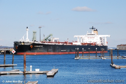
Vessel profile: GREEN EAGLE is a Crude Oil Tanker with dimensions m x m.
This page combines live AIS, route history, probable destination signals, nearby traffic, and port activity for practical vessel monitoring.
The current position of vessel GREEN EAGLE is 4.44902 lat / 7.15522 lng. Updated: 2026-05-19 04:13:53 UTCNearest reference points:
- Near Bonny
- Near Onne
- Near Ima
Currently sailing under the flag of Marshall Islands ![]()
Details:
Live Vessel GREEN EAGLE Analytics (details, animations, etc.)
Recent AIS points (UTC):
2026-05-19 01:19:49 UTC · 4.44800, 7.15055 · SOG 0.6 kn · COG 143°2026-05-19 01:50:14 UTC · 4.44863, 7.15365 · SOG 0 kn · COG -1°
2026-05-19 03:56:10 UTC · 4.44862, 7.15495 · SOG 0.3 kn · COG 235°
2026-05-19 04:13:53 UTC · 4.44902, 7.15522 · SOG 0 kn · COG 232°