 ESL WAFA
Current Status
Where is the vessel?
ESL WAFA is currently in 14 nm NW of UMM AL QUWAIN, based on AIS data received about 15h ago.
Latest AIS update:
Current position: 25.67335° N, 55.35318° E (14 nm NW of UMM AL QUWAIN)
Average speed (last 7 days): Loading…
Average speed (last 30 days): Loading…
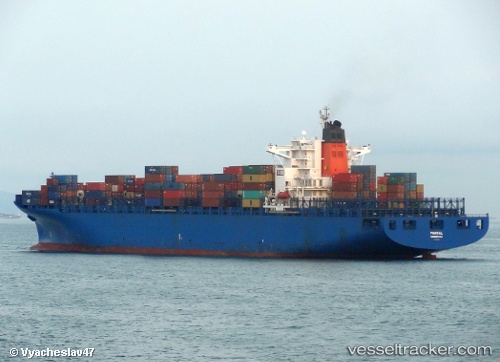
Vessel profile: ESL WAFA is a Container Ship with dimensions m x m.
This page combines live AIS, route history, probable destination signals, nearby traffic, and port activity for practical vessel monitoring.
The current position of vessel ESL WAFA is 25.67335 lat / 55.35318 lng. Updated: 2026-05-23 01:40:57 UTCNearest reference points:
- Near AJMAN
- Near Sharjah
- Near Al Hamriyah
Currently sailing under the flag of Portugal ![]()
Details:
Live Vessel ESL WAFA Analytics (details, animations, etc.)
Recent AIS points (UTC):
2026-05-22 22:27:35 UTC · 25.67325, 55.35320 · SOG 0 kn · COG -1°2026-05-23 00:11:20 UTC · 25.67328, 55.35305 · SOG 0 kn · COG -1°
2026-05-23 01:22:56 UTC · 25.67330, 55.35297 · SOG 0 kn · COG 191°
2026-05-23 01:40:57 UTC · 25.67335, 55.35318 · SOG 0 kn · COG 197°