 vesseltracker.com
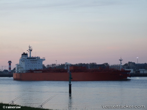
 LAYLA
LAYLA
Current Status
Where is the vessel?
LAYLA is currently in 35 nm SE of Vrangel', based on AIS data received about 14h ago.
Latest AIS update:
Current position: 42.20167° N, 133.43832° E (35 nm SE of Vrangel')
Average speed (last 7 days): Loading…
Average speed (last 30 days): Loading…
Vessel profile: LAYLA is a Oil/Chemical Tanker with dimensions m x m.
This page combines live AIS, route history, probable destination signals, nearby traffic, and port activity for practical vessel monitoring.
The current position of vessel LAYLA is 42.20167 lat / 133.43832 lng. Updated: 2026-05-18 13:44:02 UTCNearest reference points:
- 29 nm SE of Vrangel'
- 46 nm SE of Vrangel'
- 35 nm S of Vrangel'
Currently sailing under the flag of Cameroon ![]()
Details:
Live Vessel LAYLA Analytics (details, animations, etc.)
Recent AIS points (UTC):
2026-05-18 10:37:55 UTC · 42.15667, 133.44333 · SOG 0 kn · COG -1°2026-05-18 11:44:00 UTC · 42.16667, 133.44167 · SOG 0 kn · COG -1°
2026-05-18 13:34:58 UTC · 42.19833, 133.43832 · SOG 1 kn · COG -1°
2026-05-18 13:44:02 UTC · 42.20167, 133.43832 · SOG 1 kn · COG -1°